Story by Estuardo Secaira, Independent consultant in Conservation and Protected Areas Planning and Management, and Karla Lara, Biodiversity, Protected Areas and Ecosystems Specialist; Ecosystems, Livelihoods and Water Governance USAID Activity
Over the course of 11 workshops, CCNet coaches Estuardo Secaira and Karla Lara helped USAID teams apply the Open Standards in a coherent and consistent way to develop 11 conservation plans to guide Ecosystems, Livelihoods and Water Governance site interventions in Western Honduras. At the end of the planning process, we conducted a comprehensive analysis of the 11 plans. Through a large Miradi project (see Figure 1 below), we grouped the critical threats and most of the strategies into categories, such as deforestation and fragmentation, water-pollution, and unsustainable forest management. A final group of strategies were considered as systemic for the whole region, such as institutional strengthening of the co-management schemes and organizations, land use and conservation planning, enactment and strengthening of micro watersheds protected areas, and climate change adaptation. The synthesis provided powerful insights into the programmatic, analytical, and monitoring advantages of using the Open Standards to plan and manage each of the individual protected areas of the National System of Protected Areas of Honduras. The synthesis could also help guide future regional conservation efforts.
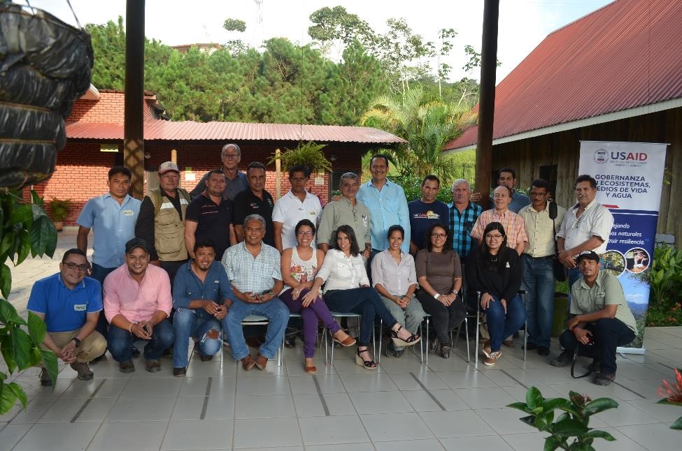
Participants in Yojoa Lake Conservation Plan workshop, one of the 11 sites analyzed and planned, August 2017. Image provided by Estuardo Secaira.
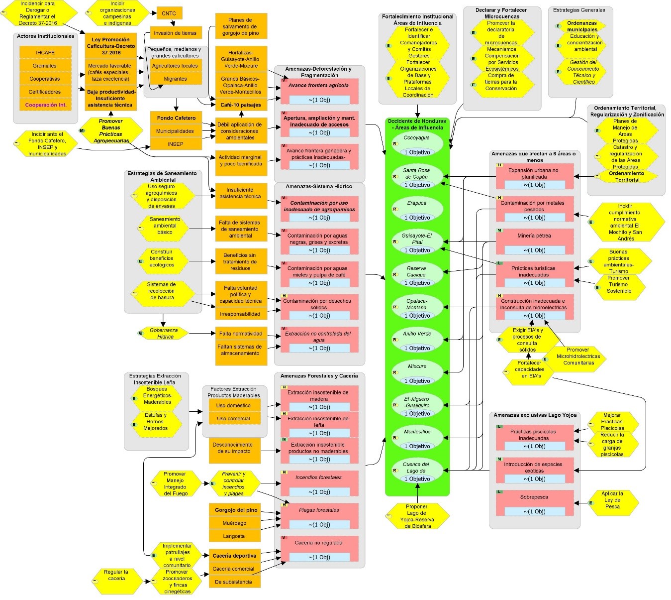
Figure 1. Situation analysis of Western Honduras developed through the synthesis of 11 site conservation plans.